2GIS specialists can develop customized printed maps of various sizes and formats to provide business solutions for your company.
- When you make presentations, you can mark your own elements (branches, showrooms, stores) or highlight territories.
- When you develop strategic planning, mark territories which you plan to cover in the future. Highlight responsibility areas for managers etc.
- When performing competitor analysis and developing logistic solutions.
- When you decorate your office interior. A large city map may be used, with the elements which are important for you. 2GIS customized printed maps may become a beautiful decoration for your office, reception room or negotiation room.
- A wide array of printing materials: photocopying paper, banner, glass, mirror, synthetic foam, polyester etc. Lamination or lacquer coating may be provided.
- Available scales: from 1:10000 to 1:50000.
- Dimensions: from А4 до 3,3×3,3 m (depending on material).
- Maps are produced on state-of-the-art equipment, providing a high quality print and accurate map.
|
Printing on the reverse side of glass allows you to write a text and easily erase it 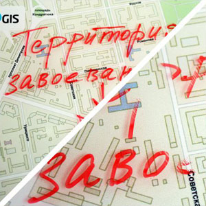
|
Printing on flexible materials (polyester). Maps do not wrinkle or warp 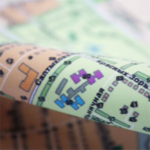
|
|
Printing on mirror 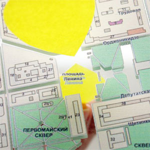
|
Printing of maps with 3D elements 
|
Any area in the scale you specify (district, residential quarters, city, region) and additional elements:
|
Logos 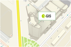 |
Own network and competitors 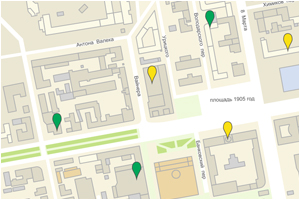 |
|
3D 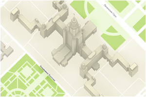 |
Boundaries of an area 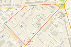 |
|
Infrastructure 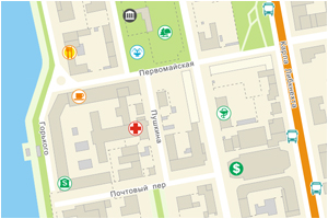 |
Highlighted elements 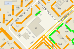 |
Prices for standard wall maps are given in the wall maps price list. If map dimensions, map scale or a map fragment are increased, or any additional elements are added to the map, the price is subject to individual calculation.